Wednesday, August 13, 2014

Mt. Judah: August 9, 2014

A little before 7 AM on Saturday August 9, 2014 my son Gavin and I pulled out of the driveway heading for the Mt. Rose Wilderness in the northeastern section of Lake Tahoe.  The goal was to complete the first hike of the Tahoe Rim Challenge: a 12 mile jaunt through the Mt. Rose Wilderness that would take us to the top of Relay Peak, at 10,335 feet the highest point of the Tahoe Rim Trail.  I had checked the weather report the afternoon before and except for a low chance of thunderstorms in the later part of the day the weather was supposed to be clear.

As we were cruising past Roseville Gavin checked the weather report on his phone: the area was socked in with rain and thunderstorms.  Now I don't mind hiking in the rain, in fact sometimes I prefer to hike in the rain than better weather, but the thunderstorms combined with the rocky terrain of the area made this a possible deathtrap.

So we continued up Interstate 80 to Donner Lake to do a hike of Mt. Judah.  I had always wanted to do this hike but for various reasons had not made it to the trailhead.  This seemed to be the perfect excuse.  Just before Donner Summit we took the Donner Pass Road exit, drove slowly past Sugar Bowl to the connection with Old Donner Pass Road and found the trailhead nearly deserted, with only a smattering of cars in the parking area.  With the blue sky and light breeze this was going to be a beautiful day.  I popped the trunk and Gavin and I started getting our gear ready.

Five minutes later five cars pulled into the lot and 20 people climbed out.  Great, a hiking group.  I groaned inwardly at the noise they would make on the trail and the chance for spotting any wildlife disappeared into smoke.  My original intent was to hang back and let them take to the trail first, with the hope that they would make the rookie mistake of turning onto the Loop Trail at the first junction.  However, they took so long getting ready, and the leader insisted on doing a pack check (a good move on his part) that we decided to hit the trail and see if we could stay ahead of them.  Since my focus on this trip was photos I decided that if they managed to catch up we would just let them pass.

As it was we had a great hike, meet some new people and really enjoyed our time on the mountain.


The trailhead.


A display map of the area.


This is a section of the Pacific Crest Trail.


The first part of this hike is a dozen or so switchbacks that climb to the ridge within the first mile.


The first half mile is nothing but rock.


All that rock to the left is the trail...


A look back and down to the trailhead.  The trailhead is out of the photo, to the left.


Switchback!  The hiking group we left at the trailhead caught up to us quickly and passed us at this point.


Some switchbacks were long, and some rather short.  Gavin is at the top of this switchback where it starts to curve inward onto the ridge.  We would play leapfrog with the three hikers coming up below until we hit the first junction with the Loop Trail.


Finally on the ridge.  We still had half a dozen switchbacks to climb until the summit but for the most part the trail evens out and is fairly easy.


Lake Mary.  Sugar Bowl is off in the distance.  To the right is the Union Pacific Railroad and Interstate 80.


Every time I stopped for a photo Gav took advantage for a break.


Making our way around to the southern side of the mountain.


The view to the southwest.


Water break!  We come to one of the last switchbacks before hitting the junction with the Loop Trail.


Almost there.  The junction is right around the bend.  It is about 2.5 miles from the trailhead.


The first junction with the Loop Trail to the summit.


The junction.  The trail to the left is the start of the Loop Trail that goes up and over the summit and continues further up to connect with the PCT.  Most hikers that come to this area continue up this trail to the summit and come back on the trail that goes off to the right.  I consider this a rookie mistake made by people that don't research the area they are hiking in.  The trail to the left is much steeper with less tree cover than the trail to the right.  Plus, by continuing on the PCT until we reach the next junction we have already hiked as far in as we are going to go, and the rest is just the way back out...


My son Gavin at the junction.


Me at the junction.


About a quarter of a mile from the junction we hit a crossing with a fire road.  The trail continues dead center where the shade is.


Continuing on.  The trail takes off to the right.


A nice shady stretch of trail among the pine trees.


A field of mule ear.  This is nature's toilet paper.  Best used in late spring or early summer the soft, almost velvet like texture of the plant is a perfect substitute for even the most soft of store-bought toilet paper.
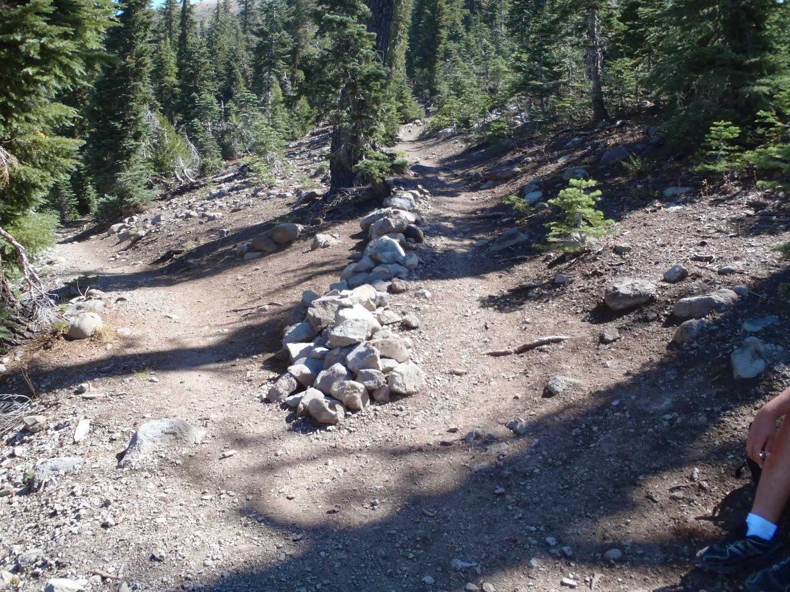

We reach the second junction with the Loop Trail, about 3 miles in.  The trail to the left is the PCT we just completed.  The trail to the right is heading up to the summit.


A view of Castle Peak to the northwest.  Interstate 80 and Boreal are directly below it.
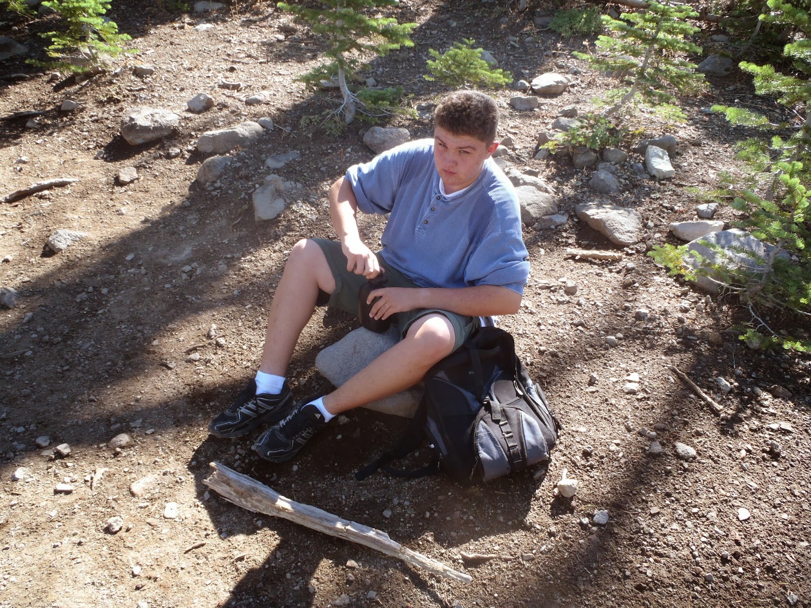

Water break!


Heading up for the last half-mile to the summit.


The trail switchbacks up and continues just above this rock formation.
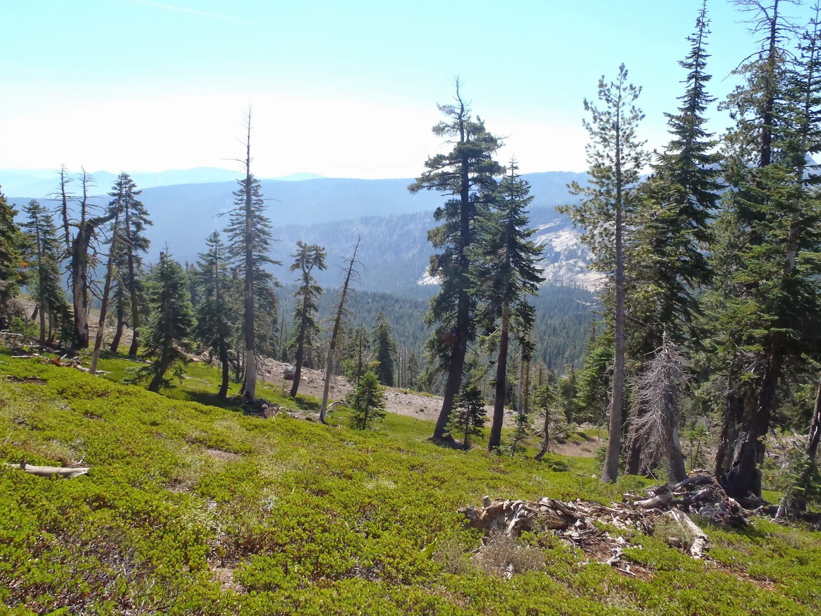

A view of the Sierras to the southeast, towards Lake Tahoe.


Mule ear.


This dead tree is called a snag and provides nourishment and shelter for thousands of small animals and insects.


A close up of the rock formation seen earlier.  The trail continues right through it.


The summit is finally in view.


A look back.  Nature's rock garden.


The top of Mt, Judah.


The final push up.


The last switchback.


A view of the Sierras looking southeast towards Lake Tahoe.  The PCT continues along the ridgeline.
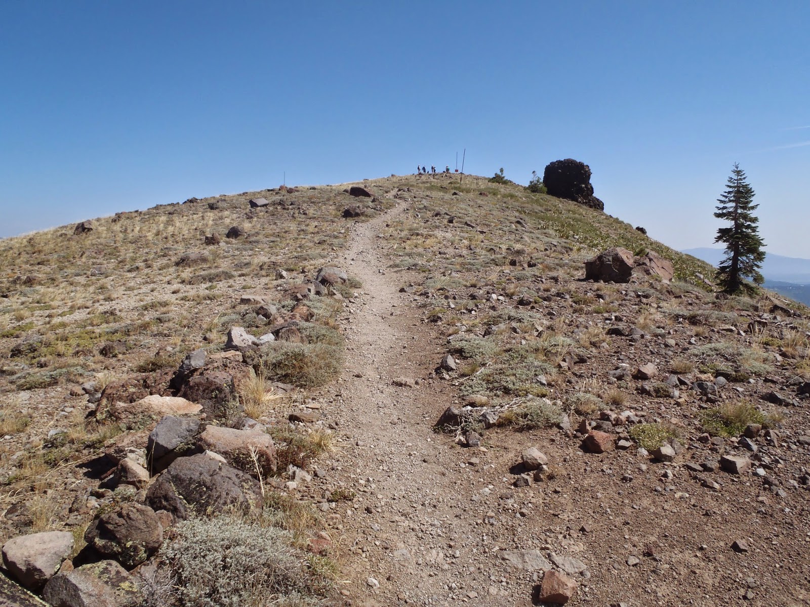

The last few steps.


Gav at the summit.


Donner Lake.


Donner Peak.


Me at the summit.


The way down.  Though this part of the trail descends gradually it becomes much steeper once you get into the treeline and becomes a very difficult climb, which is why those in the know choose to come up the way we did rather than face this brutal climb in the sun.


Just beyond where Gav is hiking the trail drops almost straight down.


You can tell how steep this section is.  The hikers just below Gav are climbing upwards.


A closer view of Donner Peak.


A switchback on the way down.  This section is brutal in the sun.  There is nearly no shade at all.  Just before I took this photo we came across the large group we had met in the parking lot.  The climb upwards had been so steep they had had stopped for lunch in the shade of the trail junction with the use trail going up to Donner Peak.  The head guide said next time he would take my advice and come up the other side...


The use trail to Donner Peak.  I was all for a excursion to the peak but Gav was already thinking of the lunch I promised him on the way down the hill.


The Loop Trail back to the junction with the PCT.


The trail up to the summit.


Gav is standing by the trail we just came down, the trail back to the junction goes off to the right.


Still heading down.  This section was mostly dried creekbed and would not be fun hiking upwards.


More mule ear.


Back at the junction.


Gavin at the junction. He almost didn't recognize it.  While we were taking a quick break a mom with her teenage son came down the trail behind us.  We had seen them at the summit and they had hiked down the way we had come up.  Then as we were hiking down to reach the junction we passed them as they were headed back up to the summit.  At first we just thought they were out for a long hike, but when they came back down Gav asked if they were lost and the mom admitted they were.  I pointed out the PCT trailhead behind her and they both thanked us as they headed back down to the parking lot.


The trailhead way below.  The trail comes out just in front of the block house in the center of the photo.


Making our way back down the switchbacks.


Almost to the end.


Gav reaches the finish line.


Gavin at the trailhead.


Me at the trailhead.  On the way down I had given my son a conundrum.  On the way home we could stop at either Colfax Max, known for their burgers and their milkshakes, or Sonic, which we both liked for their hot dogs and mixed drinks (my personal favorite is the Dr. Pepper Orgasm -- a blend of Dr. Pepper, Lemonade and Powerade).  When we reached the parking lot he told me it was definitely going to be Colfax Max.


The best burger joint west of the Mississippi, Colfax Max is in the town of Colfax and we stop in for lunch every time we go up the Interstate 80 corridor. (http://www.colfaxmax.com/) Of course on this particular day, Gavin chose Colfax Max so he could sip on of their famous milkshakes, and what do we see on the door as we pull up? A sign that their milkshake machine is down for repair.  Oh well, we stopped anyway.


The place may be small, but it sure has great food!  I always joke that Colfax Max is the town's best kept secret.  As you get off the interstate and go through town the first place that jumps out is a boring looking McDonald's.  If you continue on to the very next right turn your taste buds will thank you as you pull into the smaller but much more rewarding parking lot for Colfax Max.


One of my favorites: the Wild West Burger with onion rings.  (http://www.colfaxmax.com/ColfaxMaxMenu.pdf)  I have tried every burger on the menu, including the infamous Biker Burger (on a dare) and I can say they are all extremely delicious...


Here we are at the best burger joint in the west and my son orders the Fish and Chips...still very tasty!!


How to use mule ear for toilet paper:

http://www.sodahead.com/living/how-to-poop-in-the-woods/blog-141443/?link=ibaf&q=mule+ear+as+nature+toilet+paper

http://www.miguelvieira.org/rememberedearth/2009/08/09/tinker-knob-from-sugar-bowl/

http://www.calguns.net/calgunforum/archive/index.php/t-536263.html

Sunday, August 10, 2014

Mt. Rose: January 18, 2014

January is a difficult month to try to find time to go hiking or camping.  First, you have just survived three stressful holidays: Thanksgiving, Christmas, and the New Year.  The first puts you into a food coma that makes you swear off any sweets at all for at least a year but the embargo usually dies off within the first three hours.  The second empties your wallet and bank account so you tighten up on the extracurricular activities.  The last leaves you tired and longing for the weekends to sleep, not to hike.

Despite all that I find January, February and March the best times to go hiking and camping.  Primarily for those very reasons stated above: nobody in their right mind wants to do either.  And as my family and friends will tell you, I lost my mind a long time ago.  Most camping areas are open without the need to reserve months in advance.  More than once I have gone online and made reservations for the weekend the Monday or Tuesday before.  The trails are nearly empty and the wildlife is out and easier to spot and view than any other time during the year.

For this particular weekend in January the troop decided they wanted to attempt a snow camp trip to North Tahoe Regional Park in Tahoe Vista (http://northtahoeparks.com/north-tahoe-regional-park).  Typically this is a great place to go snow camping: lots of snow, lots of snowshoe trails, a nice hill for sledding right in the parking lot, lots of drifts to dig snow caves and snow shelters, and a heated bathroom to retreat to if the night gets a little too chilly.  I have snow camped there many times and even completed my Okpik cold weather training there (http://www.scouting.org/Training/Adult/Supplemental/ColdWeatherCamping.aspx).  But due to the warm winter this year the campground was mostly ice and mud.  I don't mind camping in ice and mud when I don't have a choice, but to go intentionally is a little crazier and nuttier than even I will submit to.

So my younger son Gavin and I accepted an invitation from Crew 136 to stay at a condo they had access to in Nevada at the top of Daggett Summit off Highway 207.  With the accommodations settled the two of us planned on meeting another two hikers at the Mt. Rose trailhead in the northeastern corner of Tahoe Saturday morning for a day hike of the Mt. Rose Wilderness.

The timing was perfect.  The skies were a sharp blue and the temperature was a nice 60 degrees.  Mt. Rose itself was completely bare of snow and the trailhead parking lot at 9,000 had only a few scraps of melting ice.  It was looking up to be the ultimate weather for a hike...


The trailhead.  Of course the bathrooms were closed for the winter...


The sign for the Tahoe Rim Trail and the Mt. Rose Wilderness.  The trail goes up the short rise, then turns to the right and comes to a junction.  One route is for hikers only, the other is for bikes and horses.


The Tahoe Rim Trail.  My favorite long-distance trail in the Tahoe area.


The junction.  Five miles to to the top of Mt. Rose.


The first real snow we saw on the trail.  The trail continues straight then curves around the pine just left of the center of the photo.


A slight incline but the trail soon leveled out.  I had not learned yet to hate steps...


A view of northern Lake Tahoe.  Incline Village is straight center below the rise.  On the far side of the lake is Tahoe City and Desolation Wilderness.


Quick break.  The weather was warmer than we expected so we started stripping off the outer layers.


Just a cool sandstone rock formation.


The trail starts to curve in to follow the ridgeline of Tamarack Peak.


The first snow field that we came across.  It was mostly ice that cracked under our boots.


The further in we hiked the deeper the snow fields...the trail is marked by the footprints of those that had gone before us.


So far the longest patch of snow we had encountered.


A nice patch of snow that was almost untouched.  The footprints indicate where the trail lies.


Along the ridgeline of Tamarack Peak.  We started hitting deeper and deeper patches of snow.  Luckily for us the trail was still popular during the winter months and previous hikers kept the trail well marked with the passage of their boots.


Most of the trail was hard packed snow due to the previous hikers, though there were sections that were a little more soft and slippery.


At some points the trail became very difficult to navigate.  One misstep and we would tumble downward.


A view back towards the parking lot, just around the side of the mountain to the right.


It was still early morning so the snow hadn't felt the full force of the suns rays yet, but we could feel and see the patches of melting snow beneath our boots.


This field was so pristine all of us fought the urge to drop our packs and try body sledding down the hill...


Me and my younger son Gavin.


On the northern side of Tamarack Peak.


Our first glimpse of Mt. Rose.


Dry ground.  The last stretch of actual trail before we lost it entirely.  It disappeared under three feet of snow with tracks going every which way.  We orientated ourselves as best as we could and headed out cross country...


Heading down a steep drift before reaching a shallow path.


Following the beaten path to the sound of running water.


We emerged not to far from the actual trail, which is straight ahead on the other side of the trees.  We crossed the stream and made our way to the marked junction.

 
Coming out of the treeline we saw the telephone pole, made a right turn and came out near the actual trail.  Mt. Rose is to the left.


Gavin crossing the creek.


A close-up of the creek.  This is a year-round creek, and the only source for water during the summer months.


Follow the leader.  The marked junction is straight ahead and just to the right of center.  The trail to Mt. Rose is to the right just within the treeline.  I marked this area for future backpacking trips.  This would be a great place to bring in some scouts, set up a camp, then do a day hike to the summit without having to worry about making the last three miles out to the trailhead in the dark.


We reach the marked junction and are back on the trail.


The tricky part.  Most of this area was either melted ice or ice so thin that any weight would crack and send you into a foot of water.  For the most part we carefully slid along without raising our boots.


Skating on ice...Mt. Rose is in the background.


Heading up the trail to the summit.


Heading up into the saddle. Most of this was melted snow and the trail was either ice, melting ice or mud.  We had to step carefully.  When we reached the saddle, no more than a mile from the top, Gavin started feeling nauseous and complained of a headache.  Since we were coming up on 10,000 feet we immediately suspected AMS, or Acute Mountain Sickness -- otherwise known as altitude sickness.  We stopped, gave him some to time to sit and drink some water, then we headed back down.  Though the summit was just within our grasp, it was not worth risking his life.


Heading back down the trail to the meadow below.


After hitting the marked junction we were able to stay on the correct trail and came across another beautiful sight: another sign and a waterfall frozen in time...


The sign.


And the waterfall...


An expanded view.


The way out.  We came across a few more possible trail directions later on, but using our sense of direction, and common sense, we had no more problems staying on the trail and making our way back to the trailhead.


Out of the snow and almost back to the parking lot.  It was late in the day and the sun was starting to go down.  Gavin and I were already looking forward to the hot tub back at the condo...


Back at the trailhead.  Gavin had already stripped down out of his soaked shoes and pants.  He was ready to hit the hot tub the minute we pulled in.


Celebrating after a successful hike.  We may not have made it to the summit but we enjoyed a fun adventure, gotten a little lost, and made it back alive with no injuries.  I can't think of a better ending to a hiking trip.

Gavin and I said good bye to our hiking partners who went on to join the troop and drove back to our condo on the south side of the lake.  We enjoyed a long dip in the hot tub, then Gavin went on to make a spectacular spaghetti dinner for us and our hosts, Crew 136.  The Crew had enjoyed the day doing some skiing and helping the troop set up cold weather shelters.  We topped off the evening with some hot chocolate and watched the movie The World's End, (http://www.imdb.com/title/tt1213663/), which was a much better story than the beginning suggested.

Mt. Rose Wildernesshttp://www.fs.usda.gov/wps/portal/fsinternet/!ut/p/c4/04_SB8K8xLLM9MSSzPy8xBz9CP0os3gDfxMDT8MwRydLA1cj72BTJw8jAwjQL8h2VAQAzHJMsQ!!/?ss=110519&navtype=BROWSEBYSUBJECT&navid=110160000000000&pnavid=110000000000000&recid=11768&actid=51&ttype=recarea&pname=Lake%2520Tahoe%2520Basin%2520Mgt%2520Unit%2520-%2520Mt.%2520Rose%2520Wilderness

http://www.wilderness.net/NWPS/wildView?WID=396

Crew 136http://www.crew136.com/

The best website to research AMS, or altitude sicknesshttp://www.altitude.org/altitude_sickness.php